How it works
The whole check, start to finish.
TerrenoCheck pulls scattered public maps and territorial services into one honest read of a single Italian parcel, so your first decision rests on data rather than impressions.
Find the place
Search a town, an address, or paste coordinates. The cadastral map opens on the spot and shows real parcel boundaries, not an approximate pin.
Select the boundary
Tap the parcel and confirm the highlighted boundary is the one you mean; you may add up to ten adjacent parcels and treat them as a single perimeter. Nothing is produced before you confirm.
We read the real sources
The Agenzia delle Entrate cadastre, OpenStreetMap Italia, ISPRA and IdroGEO, the Ministry of Culture SITAP register, INGV, Copernicus, the European Environment Agency and the Civil Protection Department. Every reading carries its own date and licence.
Generate the dossier
In about ten minutes you receive a searchable PDF of about 175 pages in 11 chapters, with the questions for your surveyor, notary and municipality already written. The exact count depends on what the sources return for that parcel.
Ready to check a parcel?
It starts with a point on the map.
What the dossier actually shows
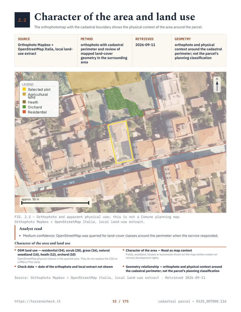
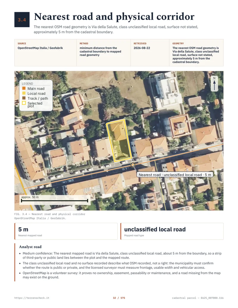
The result is not a generic checklist. Each chapter identifies the parcel, the source consulted, the reading date and the limitation of the data. These are two pages from the Livorno dossier produced on 11 September 2026.