
Pillar guide: Cadastre and documents
Legga questo articolo in italiano.
Seminativo, pascolo, incolto: the crop class on Italian land
On this page
Words like seminativo (arable), pascolo (pasture) or incolto (uncultivated) on an Italian land record are the crop class the cadastre gives the parcel. Together with the productivity grade they set the notional incomes used for IMU and other taxes. They do not tell you whether you can build, and they can lag behind what is growing in the field.
In short
- The crop class (qualità) and the grade (classe) describe the crop the cadastre assigns to a parcel and how productive it is. They are used to work out two notional incomes, not to say what you may build.
- IMU on agricultural land, even if nobody farms it, is based on the landowner’s cadastral income: add 25%, multiply by 135, and the comune applies its rate to the result.
- If the real crop differs from the record, the change has to be declared to the local land office of the Agenzia delle Entrate, unless it was already declared correctly to the agency that pays farm subsidies.
- Before buying, compare the record, aerial photos and the land itself, and get the zoning certificate from the comune (DPR 380/2001, Article 30).
× 1.25 × 135
IMU base for agricultural land
Applied to the landowner’s cadastral income on 1 January, even for land not farmed.
31 January
Deadline to declare a higher-earning crop
Of the year after the change; the new income applies from that year.
120 days
To challenge an AGEA update
From the notice in the Gazzetta Ufficiale; the latest is dated 12 December 2025.
The report brings together public information about the land, with sources and dates, to prepare questions for the relevant offices: €29 in English or Italian · €39 in both languages · total, VAT included.
Where the crop class appears on the record
On the visura (the cadastral record) for a piece of land, next to the sheet (foglio) and parcel (particella) numbers, the block called dati di classamento shows the crop class, the grade, the area and two notional incomes. The Agenzia delle Entrate, the tax agency that runs the cadastre, defines the qualità as the type of farming use assigned to the parcel or to part of it. Typical entries are seminativo (arable), seminativo irriguo (irrigated arable), prato (meadow), pascolo (pasture), uliveto (olive grove), vigneto (vineyard), bosco ceduo (coppice woodland) and incolto produttivo (uncultivated land that still yields something).
| Field | What it means | Example |
|---|---|---|
| Qualità | The crop class the cadastre assigns | Seminativo |
| Classe | The productivity grade within that crop: 1 earns most, “U” means a single grade | 2 |
| Superficie | Hectares, ares and centiares on the short record, square metres on the detailed one | 1 ha 85 a 00 ca = 18,500 m² |
| Reddito dominicale | The landowner’s share of the notional farm income | €112.90 |
| Reddito agrario | The farmer’s share, for capital and work | €106.19 |
The area and incomes come from the specimen record in the Agenzia’s November 2025 guide “La visura catastale”; the crop class and grade are illustrative. If the parcel is split into parts with different crops, the short record only says “Modello 26” and the detail is on a full record. How to get a record free of charge is in the guide to the online visura; how to trace a parcel’s past is in the guide to the historical visura.
Grade and incomes: what they are for
Neither income is what the land actually earns. Both come from official rate tables set for each crop class and grade, which the law says must be revised at least every ten years (TUIR, the income tax code, Articles 28 and 34). Two parcels of the same size therefore have different incomes if their crop class or grade differs.
Several taxes start from these incomes and adjust them differently. For taxes other than income tax, such as IMU, the landowner’s income is raised by 25% (Law 662/1996, Article 3, paragraph 51); income tax uses different uplifts, set out each year in the instructions to the tax return.
IMU, the annual property tax. For agricultural land, including land nobody farms, the taxable base is the landowner’s cadastral income on 1 January, raised by 25% and multiplied by 135. The standard rate is 0.76%; the comune may raise it to 1.06% or cut it to zero (Law 160/2019, Article 1, paragraphs 746 and 752). With the income from the example:
| Step | Calculation | Result |
|---|---|---|
| Uplifted landowner’s income | €112.90 × 1.25 | €141.125 |
| Taxable base | €141.125 × 135 | €19,051.88 |
| IMU at the standard rate | €19,051.88 × 0.76% | €144.79 a year |
The calculation does not round intermediate values: the revalued income stays at €141.125, to three decimals. Only the final results, the taxable base and the IMU, are shown to the cent.
Your comune’s rate is in its IMU resolution for the year. Exempt land includes land owned and farmed by coltivatori diretti and imprenditori agricoli professionali (registered working farmers) enrolled in the farmers’ pension scheme, land in the comuni of the minor islands, and land in mountain or hill areas defined under a 1993 finance ministry circular (Law 160/2019, Article 1, paragraph 758).
Purchase taxes. Here the landowner’s income (reddito dominicale) is used for IMU; the taxes on the sale itself follow their own rules. Taxes, reliefs and multipliers are covered in the guide to taxes on buying agricultural land.
What the crop class does not tell you
It does not tell you whether you can build. What is allowed on a piece of land is set by the comune’s town plan, and for a sale the document that counts is the certificato di destinazione urbanistica (CDU, the zoning certificate): a deed transferring land without the CDU attached is void, except for gardens and yards under 5,000 m² belonging to buildings in the urban cadastre (DPR 380/2001, Article 30, paragraph 2). The comune must issue it within 30 days of the request; if it does not, the certificate can be replaced by a declaration from the seller stating that the request was made and giving the zoning (Article 30, paragraph 4). How to read it is in the guide to the CDU.
For tax purposes land counts as building land once the general plan adopted by the comune allows building on it (Decree-Law 223/2006, Article 36, paragraph 2). A parcel recorded as seminativo can therefore be a building plot in the plan, and then IMU is charged on the market value of the land, not on the cadastral income (Law 160/2019, Article 1, paragraphs 741 and 746). The law makes one exception: land owned and farmed by registered working farmers enrolled in the farmers’ pension scheme, and still farmed, is treated as non-building land.
The crop class also says nothing about who farms the land or whether there is an agricultural lease running. Ask the seller and check the documents.
When the crop matters for building
In farm zones some regional laws and town plans tie what you may build to the crop. Piemonte is a clear example: its planning law sets a different maximum ratio for farmhouses for each type of crop, with an overall cap of 1,500 m³ per farm (Regional Law 56/1977, Article 25). The chart converts the ratios into cubic metres per hectare.
The ratios are ceilings for the whole farm, not free cubic metres for every hectare you buy. Article 25 sets these limits on them:
- The ratios refer to “crops in place or planned”; a change of crop class is checked by the comune when it examines the building application, without amending the plan.
- The volume is worked out for each farm leaving out uncultivated and abandoned land and including existing buildings: the volume of the buildings already there comes off the farm’s limit, not counting the structures and equipment for producing, storing, processing and selling farm produce (Article 25, paragraph 2, letter g), even when they are inside the house itself. Land whose volume has been used becomes non aedificandi (not to be built on) and is marked on cadastral maps open to the public; volume may not be transferred between different farms.
- Woodland counts only if it belongs to a farm, and for no more than 5 hectares per farm. The pasture ratio applies to forestry-and-grazing farms, with dwellings of no more than 500 m³ per farm.
- Farmhouses may be built by professional farmers, including as members of cooperatives; by landowners and others with title, solely for the use of those farmers and of permanent workers who run the land; and by non-professional farmers covered by paragraph 2, letter m, who have both their residence and their domicile on that farm. An owner who fits none of these cases cannot build a farmhouse for their own use.
Other regions have their own rules, which the comune’s plan applies and sometimes tightens. Before counting on a house in the countryside you always need the comune’s plan; the general rules are in the guide to building a house on agricultural land.
Sources: Piemonte Regional Law 56/1977, Article 25; accessed 12 November 2026.
When the record does not match the land
The record may still say seminativo where there is now an olive grove, a meadow or woodland, or the other way round. Whoever changes the crop on a parcel must declare it to the ufficio provinciale - Territorio (the provincial land office of the Agenzia delle Entrate), using the DOCTE 2.0 software or form 13T. This is not needed if the land use was already declared correctly to a farm-subsidy paying agency: since 1 January 2007 those declarations replace the one to the cadastre (Decree-Law 262/2006, Article 2, paragraph 33).
From those declarations AGEA, the national farm-payments agency, proposes an update of the land cadastre to the Agenzia delle Entrate every year. The Agenzia then publishes a notice in the Gazzetta Ufficiale, the official journal, listing the comuni involved; the latest is dated 12 December 2025. For 60 days the lists of updated parcels can be seen at the provincial land offices, at the comune and online.
| Situation | What to do | Where and by when |
|---|---|---|
| The crop has changed and nobody declared it | Declaration of crop change | Provincial land office, with DOCTE 2.0 or form 13T; for a higher-earning crop by 31 January of the following year |
| The new crop earns less, or yields fell through natural exhaustion or force majeure | Declaration of a downward change | Same office; filed by 31 January of the following year it applies from the year of the change, otherwise from the year of filing |
| The AGEA update assigned the wrong crop | Request for correction or for review (autotutela) | Agenzia delle Entrate, with its review form for crop changes |
| You dispute the new income | Appeal to the first-instance tax court (Corte di giustizia tributaria di primo grado) | Within 120 days of the notice in the Gazzetta Ufficiale |
The 31 January deadlines are in the TUIR, Article 30. Changes caused by deliberate neglect or by temporary circumstances do not count (TUIR, Article 29, paragraph 3): a field left fallow for one season does not become incolto.
Form 13T is filed in two copies. It can be filed by the holder of a property right or by a tenant with a registered lease, and where there are several owners one of them is enough. Part A lists, parcel by parcel, the new crop class chosen from the cadastral classes, whether water for irrigation is available and any crop rotation; part B gives the reason: a change of crop class or of use, or a request to move the grade up or down.
- Crop changed, never declaredDeclare it to the provincial land office, with DOCTE 2.0 or form 13T
- Land use declared for farm subsidiesNo cadastral filing: check the lists of the AGEA update
- AGEA update got it wrongCorrection or review request; appeal within 120 days of the notice
- Record says “Modello 26”Full record to see the parts and their crops
Sources: Agenzia delle Entrate, crop changes; Agenzia delle Entrate, inconsistencies and corrections; Decree-Law 262/2006, Article 2(33); TUIR, Articles 28–30; accessed 12 November 2026.
Before completion
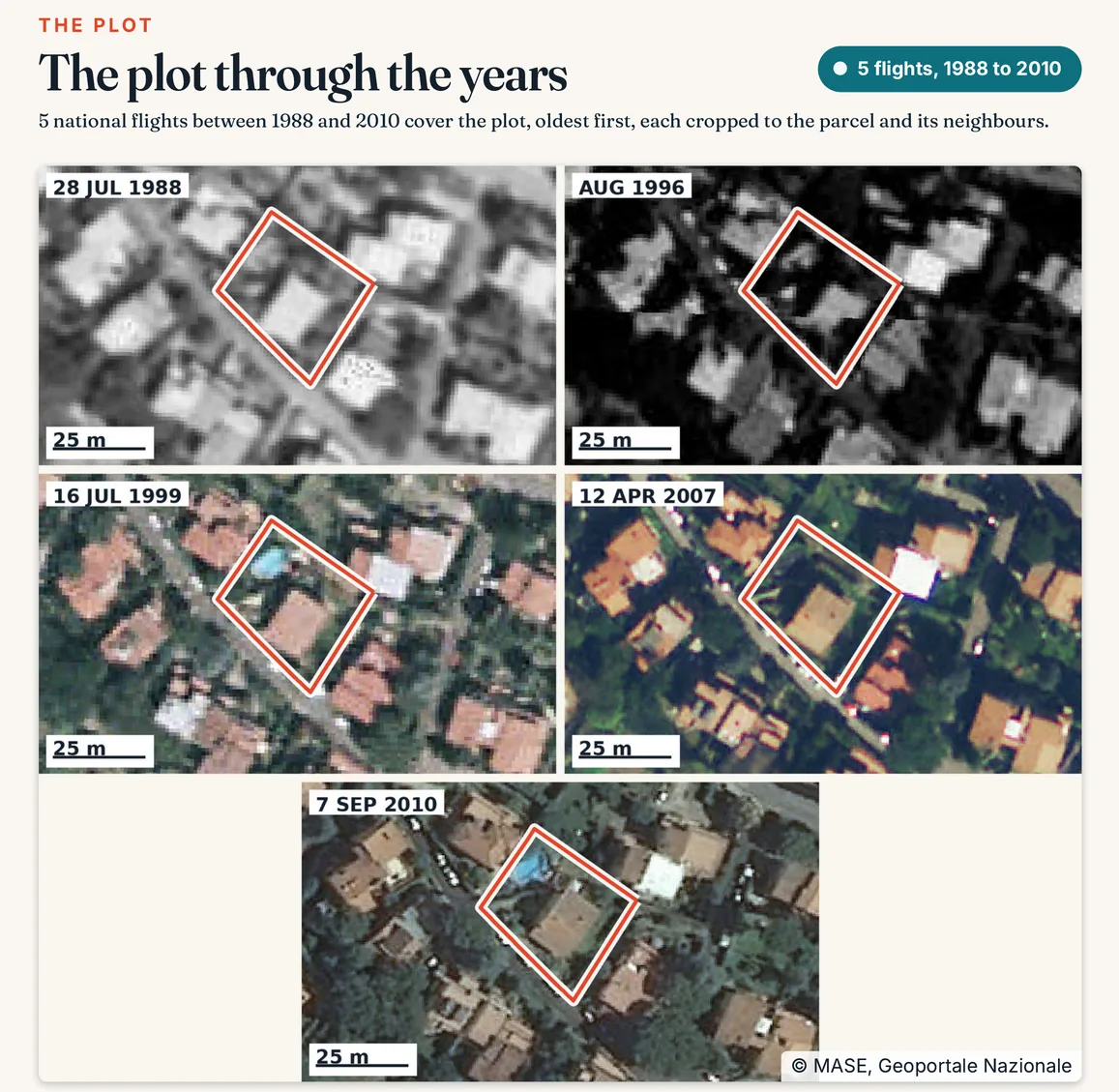
Aerial photos help you see how long the land has looked the way it does today. If the historical record has shown seminativo for decades and the photos show a mature olive grove, the change was never declared or has not yet come through an AGEA update.
A mismatch between record and land should be cleared up before you sign. It changes future IMU and, if the real crop earns more, raises the cadastral incomes and the taxes based on them. The simplest route is for the seller to file the declaration before completion and give you the receipt.
Sources: Agenzia delle Entrate, how to read a visura; accessed 12 November 2026.
Seminativo, pascolo, incolto: the crop class on Italian land
https://terrenocheck.it/en/guide/cadastral-crop-quality-seminativo-italy
Checklist
Crop class: what to check before buying
Common questions
What does “seminativo classe 2” mean?
The cadastre treats the parcel as arable land and places it in the second productivity grade for arable land in that comune or cadastral zone. Grade 1 earns the most; where there is only one grade the record shows “U”.
Can I build on seminativo land?
The record does not say. What you may build is set by the comune’s town plan and shown on the zoning certificate (certificato di destinazione urbanistica). Land recorded as seminativo can be building land in the plan, and then IMU is charged on its market value.
Do I pay IMU on uncultivated land?
Yes, unless the comune exempts it or sets the rate to zero: the law taxes agricultural land, farmed or not, on its cadastral income. The legal exemptions remain, for example for land owned and farmed by coltivatori diretti and professional farmers enrolled in the farmers’ pension scheme, and for land in the mountain and hill areas delimited under a 1993 finance ministry circular.
Who has to correct a wrong crop class, the seller or the buyer?
The duty to declare lies with whoever changed the crop, and form 13T can be filed by the holder of a property right or by a tenant. If the mismatch comes up before completion, ask the seller to file the declaration and hand over the receipt.
Does the crop class change what the land is worth?
Not directly. The price depends on the market, on what the land can be used for and on its zoning. The crop class affects the taxes worked out from cadastral incomes and, in some regions, the rules for farm buildings.
Keep reading
Free online visura catastale, even for land you do not own
Italy land search: obtain a free historical cadastral extract for a parcel
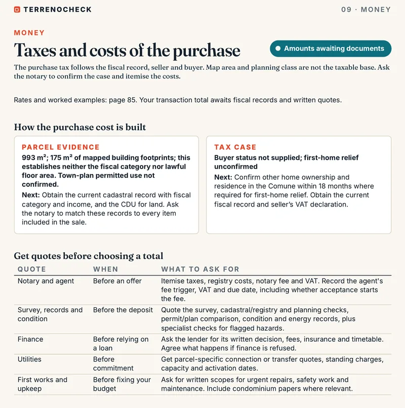
Taxes on buying agricultural land in Italy: 15%, 9% or relief
The certificato di destinazione urbanistica (CDU): Italy’s zoning certificate, explained for foreign buyers
The parcel read with a source and date, before you make an offer
Pick the parcel on the map: area, aerial photos from different years, zoning, constraints and access are read for that plot, along with the questions to put to the seller and the comune.
€29 in English or Italian · €39 in both languages · total, VAT included