
Rudere in Italy: rebuild rights before you buy
A ruined building can carry a reconstruction right, or it can be bare land with a romantic photograph. This guide shows what a buyer must prove, which constraints change the answer, and what the geometra should deliver before an offer becomes expensive.
Contents
- The first question is what the seller can prove
- What changed with the demolition-and-reconstruction rules
- If volume cannot be proved, the land is not a free rebuild
- Landscape protection changes demolition and reconstruction
- Slopes bring a second constraint
- Permesso di costruire or SCIA?
- What the technical due diligence should contain
- Make the offer conditional, and budget the right people
The description rudere does not establish a right to reconstruct a house. That right depends on evidence of the former building, planning status, the permitted intervention and any landscape or other constraints.
In Italian planning law, the useful question is not whether stone walls look old enough to be a building. It is whether the pre-existing building had a provable consistenza, meaning a sufficiently reliable volume and essential physical configuration, and whether the current plan still permits the proposed work. A collapsed building with evidence can follow the reconstruction branch of ristrutturazione edilizia. A heap of masonry with no reliable volume may be treated as a new construction proposal on land.
This pre-purchase guide provides neither a planning opinion nor a promise of buildability. Your notary checks the legal chain. An architect, engineer or geometra checks the building and planning file. The Comune decides the application under the applicable rules.
The first question is what the seller can prove
Italian buyers use rudere, diruto, collabente and fabbricato crollato loosely. The labels do not decide the legal category. A cadastral record showing an old building, an estate agent’s floor area or a remaining façade may identify a history without proving the volume that could be reconstructed today.
Article 3, comma 1, lettera d, of DPR 380/2001 includes work to restore buildings, or parts of buildings, that have collapsed or been demolished, through reconstruction, provided that their pre-existing consistenza can be ascertained. The wording matters. The provision does not say that every former building can be rebuilt because it once appeared in the catasto.
The evidence question has at least four parts. Where was the building? What was its legitimate volume? How high and wide was it, and what essential characteristics did it have? Was it a building recognised by the municipal planning and building records, or only a cadastral description that was never a planning title? A geometra should put the answers in a written report and identify what remains uncertain.
Useful evidence can come from an old building permit, a municipal archive file, approved drawings, historic aerial photography, the catasto d'impianto or another dated cadastral source, deeds with reliable plans, and a survey of surviving walls, foundations and roof traces. These are evidence streams, not automatic passes. The recent Consiglio di Stato decision on a diruto building held that historical deeds and cadastral maps located the former building but did not, on the facts before the court, establish its effective volume, height and essential characteristics. The court treated the proposed reconstruction as new construction.
That is the practical distinction between a ruin and bare land. If the file proves only that a structure once stood somewhere on the parcel, the missing measurements are not a small paperwork defect. They are the point on which the legal route can change.
These are legal references and screening thresholds, not a calculation of the volume or the time needed for a particular project. The 45-day period is part of the statutory landscape procedure, not a promise that the whole application will be decided in 45 days.
| Legal reference | Number or threshold | Buyer question | If the answer is missing |
|---|---|---|---|
| D.M. 1444/1968, Article 7(4) | 0.03 m³/m² in Zone E for residences | Is new residential volume even available under the planning framework? | Do not use the ruin as a shortcut |
| D.Lgs. 42/2004, Article 146 | 45 days in the statutory Soprintendenza opinion period | Is landscape authorisation required? | Allow for the correct authorisation route |
| R.D.L. 3267/1923, Article 1 | 3 risks named: denudation, loss of stability, disturbance of water regime | Does the slope need hydrogeological consent? | Obtain the regional or delegated authority’s requirements |
Source: DPR 380/2001, Article 3; D.L. 76/2020, Article 10; D.M. 1444/1968, Article 7; D.Lgs. 42/2004, Article 146; R.D.L. 3267/1923, Article 1, official links listed in the source list.
Pages from the delivered dossier
 Open the full page
What changed with the demolition-and-reconstruction rules
The current text of Article 3(1)(d) is the result of amendments to the original framework. D.L. 76/2020, Article 10, converted with amendments by Law 11 September 2020, no. 120, broadened and reorganised parts of the demolition-and-reconstruction regime. It addressed matters such as different sagoma, prospetti, sedime and planivolumetric or typological characteristics, while preserving planning, heritage and landscape controls.
The amendment did not abolish the evidential requirement for a collapsed building. Article 3(1)(d) still says that restoration of a collapsed or demolished building through reconstruction is ristrutturazione edilizia only where the pre-existing consistenza can be ascertained. Later amendments and the current consolidated text must be read together with the municipal plan and any regional legislation that affects the procedure. A buyer should not rely on a blog post describing the 2020 position as if it were the whole rule.
The legal effect is significant. If the proposal is genuinely reconstruction of an identifiable existing building, the project may remain within building recovery rules, subject to its constraints. If it is new construction, the applicant must satisfy the current planning index, setbacks, permitted use, infrastructure and all sector approvals. The old volume cannot simply be carried forward by assertion.
- Consistenza proven by municipal records plus dated physical or survey evidenceReconstruction may be assessed as ristrutturazione edilizia; test Article 10, the PRG and constraints
- Location shown, volume not shownArticle 3(1)(d) evidence gap; do not assume the former floor area
- No reliable building evidenceTreat the proposal as new construction for planning analysis; current PRG index matters
- Protected or unstable siteThe classification question remains, but D.Lgs. 42/2004 or R.D.L. 3267/1923 adds a separate consent track
Source: DPR 380/2001, Article 3(1)(d); D.L. 76/2020, Article 10; D.Lgs. 42/2004, Articles 146 and 149; R.D.L. 3267/1923, Articles 1, 7 and 8.
If volume cannot be proved, the land is not a free rebuild
People often hear “the ruins are excluded from the calculation” and infer that the same volume is available for a new house. That inference is backwards. When the former volume cannot be established, the reconstruction argument is weakened or lost. The remaining route is the planning rule for the land as it exists in the current application.
In a zona agricola, that can be a hard limit. The national D.M. 1444/1968, Article 7, number 4, prescribes a maximum residential density of 0.03 cubic metres per square metre in Zone E where residential building is allowed. The figure is a national maximum, not a personal allowance. It does not mean every owner can build 300 cubic metres on a hectare, and it does not answer who may build, what use is permitted, whether the parcel is urbanised, or whether a regional law sets additional conditions.
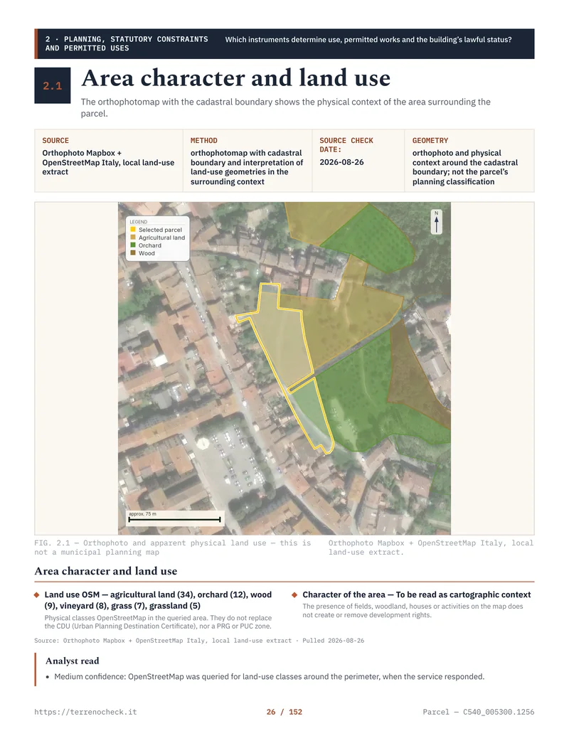
Regional planning laws and municipal instruments can tie new rural residential construction to an agricultural enterprise, a coltivatore diretto or an imprenditore agricolo professionale, farm requirements, landscape policy, minimum parcel sizes or recovery of existing rural buildings. Some regions regulate the recovery of rural heritage in detail. The PRG, PUC, PGT or other current local instrument, its NTA and the regional law must be read together. The PRG and buildability guide explains why a cadastral label such as “seminativo” or “fabbricato collabente” is not a zoning decision.
This is where a romantic ruin can become expensive bare land. A buyer may pay for a claimed 180-square-metre house, then discover that the only defensible application is for new residential volume in an agricultural zone, available only under conditions the buyer does not meet. The price gap is not a renovation contingency. It is a different asset.
Ask for the current certificato di destinazione urbanistica and the complete NTA extract for the parcel, not a screenshot of the map. The CDU certificate guide covers what the document can and cannot answer. Ask the geometra to quote the exact article, zone, index and permitted beneficiary for your intended use. If the report says “buildable” without naming those items, it is not finished.
 Open the full page
Landscape protection changes demolition and reconstruction
The phrase vincolo paesaggistico hides several legal routes. The constraint may arise from a ministerial or regional landscape measure, from categories listed in Article 142 of the Code, or from a protected landscape plan. The exact source and mapped boundary matter.
Article 146 of D.Lgs. 42/2004 prevents owners and holders of protected land from destroying it or introducing changes that harm the protected landscape values. It requires landscape authorisation where the intervention falls within the protected regime. The Region or delegated authority handles the authorisation, with the Soprintendenza involved under the statutory process. The building permit and the landscape authorisation are related, not interchangeable.
Article 3 of DPR 380/2001 also contains special treatment for demolition and reconstruction and for restoring collapsed or demolished buildings in certain protected and historic settings. In those settings, the intervention remains ristrutturazione edilizia only if the pre-existing sagoma, elevations, sedime, planivolumetric and typological characteristics are maintained and no volume increase is proposed, subject to the exact statutory exceptions and the applicable planning instruments. That is a narrower proposition than “a ruin inside a vincolo can be rebuilt in its old footprint.”
The DPR 31/2017 landscape rules list interventions excluded from authorisation and others eligible for a simplified procedure. A full reconstruction of a collapsed building cannot be put into the simplified box merely because the walls are old. The project must be classified against the current Annex A or B, Article 149 of the Code, the landscape plan and the competent authority’s process. The landscape-constraint guide is useful background, but it cannot replace a parcel-specific check.
Slopes bring a second constraint
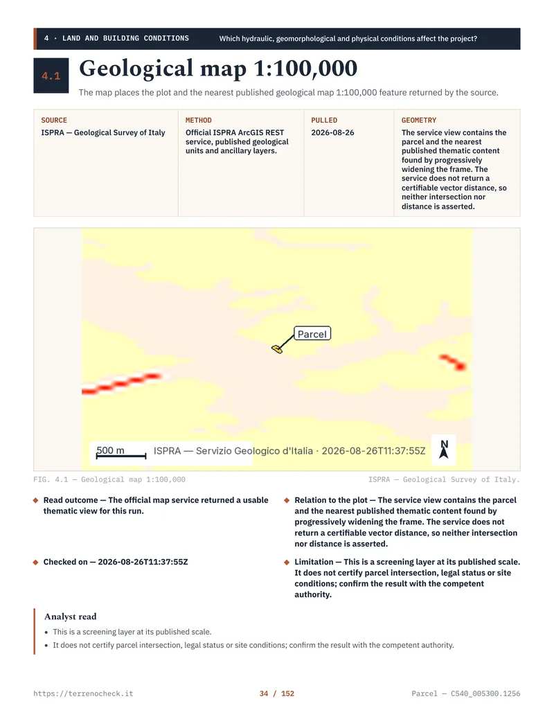
On sloping land, do not treat a landscape clearance as a slope clearance. R.D.L. 30 December 1923, no. 3267 places a hydrogeological constraint on land that could, through conflicting use, suffer denudation, loss of stability or disturbance of the water regime. The national statute sets the protective purpose. Regions and delegated authorities commonly supply the maps, application forms, technical studies and detailed prohibitions.
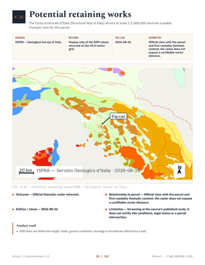
Foundations, excavation, retaining walls, road widening, drainage changes and a new roof load can each matter on a hillside. A ruin with a standing wall may look like a low-impact recovery project from the road while the access cut and retaining structure create the real risk. The geologist or structural engineer may need to address slope stability and surface water; a geometra alone may not be the right person for every question. Nobody can tell you this from a desk using a listing photograph.
Ask the professional to overlay the parcel on the regional hydrogeological constraint map, name the authority that issues the consent, list the works that trigger it and state whether the proposed title can be filed before that consent. Read the result alongside the flood and landslide risk guide, which deals with a related but separate planning and hazard screen. A PAI classification, a vincolo idrogeologico and a structural design are not interchangeable documents.
 Open the full page
Permesso di costruire or SCIA?
Do not choose the filing route from the word “restoration” in an advert. The title depends on the intervention as designed, the current Article 3 classification, the volume and shape changes, the plan, the property’s protection and regional procedural rules.
Under Article 10 of DPR 380/2001, a permesso di costruire is required for new construction and for specified renovation interventions that create an organism wholly or partly different from the former one, change overall volume or elevations, change use in the relevant Zone A cases, or modify the shape of a protected property. A rudere project with uncertain volume, a materially different building or a new-build planning branch will often need this analysis before anyone talks about SCIA.
Article 22 allows ordinary SCIA for certain ristrutturazione edilizia interventions that are not within Article 10(1)(c), in conformity with planning instruments and building regulations. Article 23 provides SCIA in alternative to the permit for defined categories, including some new construction or urban-renewal work governed by an implementing plan with precise planovolumetric, typological, formal and construction provisions. It is not a general fast lane for a ruin.
The same Article 22 says that works affecting property subject to historic, landscape or hydrogeological protection require the prior opinion or authorisation required by the relevant rules. A SCIA does not erase those approvals. Regional ordinary-law provisions can expand or reduce some procedural fields, so the SUE should confirm the route for the Comune and project.
10 m
Source: Gazzetta Ufficiale, D.M. 2 April 1968, no. 1444, Article 9.
What the technical due diligence should contain
Before the offer, give the geometra a precise brief. Ask for a signed or otherwise attributable written report, with the documents reviewed and the gaps marked in plain language. “Looks recoverable” is a viewing comment, not due diligence.
The first section should identify the asset: Comune, foglio, particelle, access route, mapped building trace and the correspondence between the advert, deed, cadastral map and ground. The cadastral records guide explains why a visura and map help identify property but do not prove a planning right.
The second section should reconstruct the building history. Ask for the municipal archive search, every known permit, the stato legittimo analysis, historic aerial images, old cadastral material, deeds and any prior demolition, collapse or safety order. The report should give a source-by-source conclusion on volume, height, floor area, footprint and essential characteristics. It should say “not proved” where that is the answer.
The third section should compare the evidence with the current PRG or equivalent plan. Ask for the exact zone, permitted use, residential index, minimum parcel or operator requirements, setbacks, height, coverage, parking, access and urbanisation conditions. If the proposal is treated as new construction, show the calculation from the current rule. If it is treated as reconstruction, show why Article 3(1)(d) is satisfied and what volume is being carried forward.
The fourth section should map constraints. At minimum, ask about landscape designation and authorisation route, hydrogeological constraint, seismic classification and any PAI or regional plan overlay. Seismic classification is a separate design issue, so cross-check the Italian seismic-zones guide. Check archaeology, forest or water restrictions where the parcel and project make them relevant.
The fifth section should describe the project assumptions: intended use, approximate volume, footprint, number of floors, access for machinery, retaining work, utilities, wastewater and demolition method. A report that approves a “house” without a project brief can hide the fact that a small farm store and a holiday home follow different rules.
Finally, ask for a conclusion with three labels: what is documented, what is technically plausible but needs authority confirmation, and what is unavailable. Ask the professional to name the SUE, landscape authority and hydrogeological authority to contact, and to attach the questions or a written preliminary response where possible.
Make the offer conditional, and budget the right people
The first professional cost is the written scope, not a decorative floor plan. A geometra’s fee depends on archive searches, travel, surveys, cadastral work and the complexity of the planning analysis. An architect or engineer may be needed for design, structures, seismic work or heritage treatment. A geologist may be needed for a slope. A lawyer can be useful where the deed, co-ownership, inherited property, access or seller representations are difficult. There is no honest national price for this package.
Ask for separate quotes for the archive search, site survey, planning report, constraint screening, preliminary concept and permit preparation. Ask what happens if the Comune archive is incomplete or the survey finds that the remains do not match the documents. Fees for a permit application are not the same as fees for proving a reconstruction right.
The offer or preliminary contract should not describe the property as having a guaranteed building volume unless the legal and technical basis has been checked. Put the required documents and the professional conclusion into the conditions you negotiate with the seller and notary. If the conclusion is “new construction only” or “volume not proven”, the price must be reconsidered before a non-refundable deposit is at risk.
The usual failure is predictable: buyer pays for land as if it carried a house, then the professional finds a cadastral footprint but no defensible volume, a rural residential restriction, a landscape mismatch or a slope consent problem. A later application cannot manufacture the missing history. The cheapest time to learn that is before signing.
- 1Identify the parcels and deed
- 2Test pre-existing consistenza under DPR 380/2001, Article 3(1)(d)
- 3Compare the current PRG and D.M. 1444/1968, Article 7(4)
- 4Map D.Lgs. 42/2004, Articles 146 and 149, and DPR 31/2017
- 5Map R.D.L. 3267/1923 and other sector constraints
- 6Classify the title under DPR 380/2001, Articles 10, 22 or 23
- 7Make the offer conditional on the missing evidence and professional checks
Source: DPR 380/2001, Articles 3, 10, 22 and 23; D.M. 1444/1968, Article 7; D.Lgs. 42/2004, Articles 146 and 149; DPR 31/2017; R.D.L. 3267/1923, official links listed in the source list.
Sources
- Normattiva, DPR 6 June 2001, no. 380, Article 3
- Normattiva, DPR 6 June 2001, no. 380, Articles 10, 22 and 23
- Normattiva, DPR 6 June 2001, no. 380, Article 22
- Normattiva, DPR 6 June 2001, no. 380, Article 23
- Normattiva, D.L. 16 July 2020, no. 76, Article 10
- Giustizia Amministrativa, Consiglio di Stato, Section IV, 12 June 2026, no. 4735
- Gazzetta Ufficiale, Ministerial Decree 2 April 1968, no. 1444
- Normattiva, D.Lgs. 22 January 2004, no. 42, Articles 146 and 149
- Normattiva, D.Lgs. 22 January 2004, no. 42, Article 149
- Normattiva, DPR 13 February 2017, no. 31, landscape authorisation lists
- Normattiva, D.Lgs. 22 January 2004 no. 42, Article 146(8), forty-five-day period for the soprintendente's opinion
- Normattiva, R.D.L. 30 December 1923, no. 3267, hydrogeological constraint